
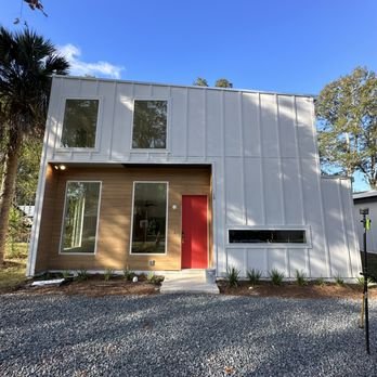
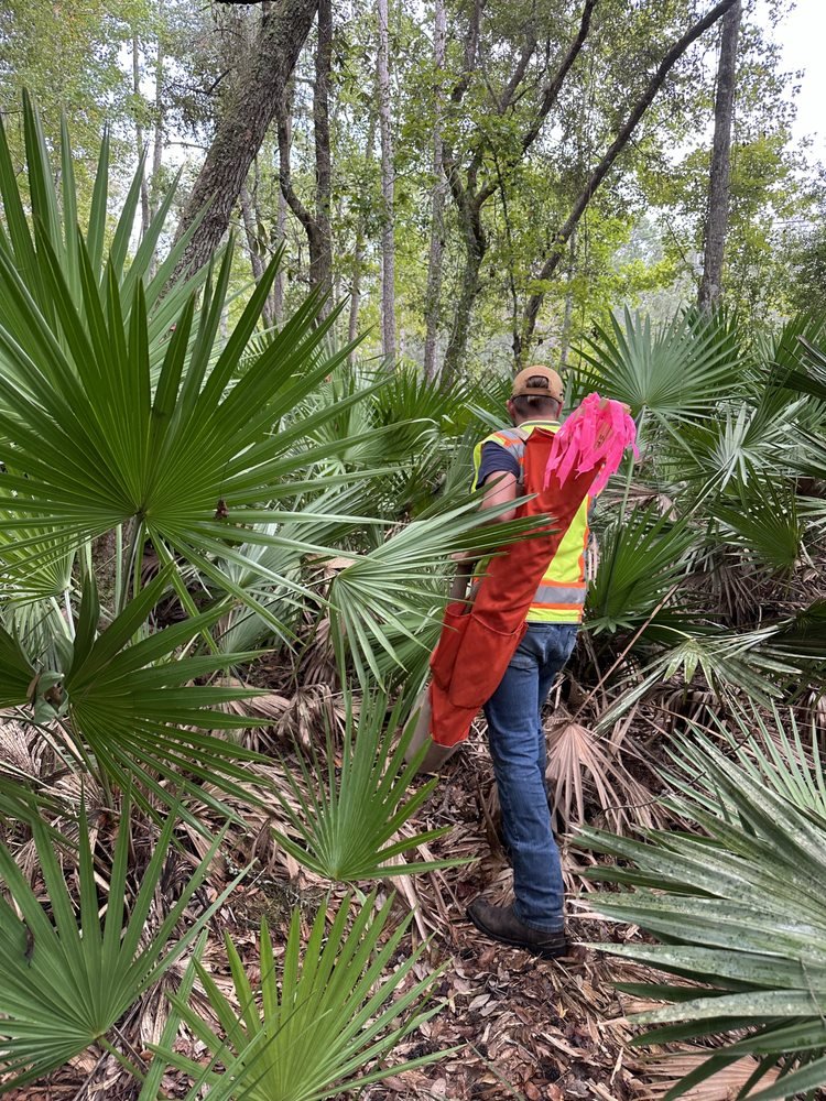
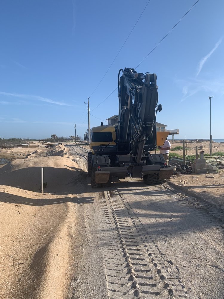
Boundary Survey
We find and monument the legal property lines of your parcel, settling disputes, aiding with construction planning, and ensuring that all regulations and deed descriptions are satisfied.

Elevation Certificate
Our licensed surveyors can provide FEMA-compliant elevation certificates required for flood zone determination, insurance rating and building permit approvals throughout all Florida.
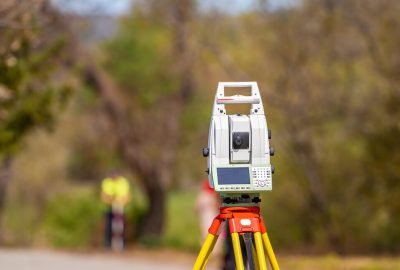
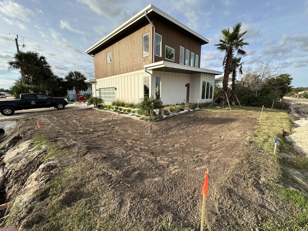
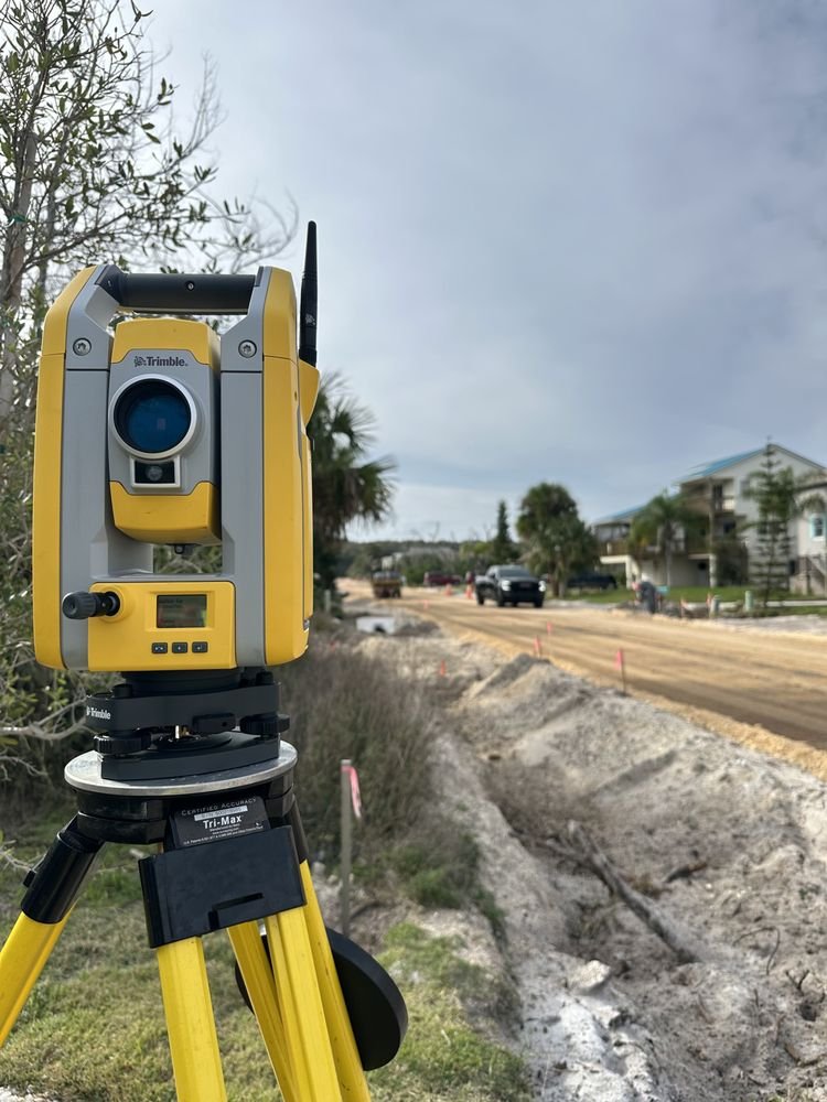
Topographic Surveys
We provide mapping of your land’s natural and built features, such as elevation contours, drainage patterns, and structures, for site design and civil engineering projects.
Flint Surveying completed our boundary survey in a timely and professional manner. “I would definitely recommend their services to anyone in St. Johns County!

Great experience from start to finish. Excellent communication and accurate results throughout our entire commercial project." "The staff was very thorough and knowledgeable.